File:800px-USATopographicalMap.jpg: Difference between revisions
Jump to navigation
Jump to search
imported>Andrew Sylvia ({{Information |Description=Topographical map of the United States |Source=[http://www1.ncdc.noaa.gov/pub/data/images/usa-avhrr.gif National Climactic Data Center/NOAA Satellite and Information Service] |Real Named Author = Dan Geist |Date=February 4, 2008 |Location= |Author=U.S. Dept. of Commerce/National Climactic Data Center/NOAA Satellite and Information Service |Permission= |other_versions= }}) |
imported>Caesar Schinas m (Replace Template:Information with Template:Image_Details) |
||
| Line 1: | Line 1: | ||
{{ | |||
| | {{Image_Details | ||
| | | description = Topographical map of the United States | ||
| | | author = U.S. Dept. of Commerce/National Climactic Data Center/NOAA Satellite and Information Service | ||
| copyright = U.S. Dept. of Commerce/National Climactic Data Center/NOAA Satellite and Information Service | |||
| | | source = [http://www1.ncdc.noaa.gov/pub/data/images/usa-avhrr.gif National Climactic Data Center/NOAA Satellite and Information Service] | ||
| | | date-created = February 4, 2008 | ||
| pub-country = | |||
| | | notes = | ||
| versions = | |||
}} | }} | ||
== Licensing/Copyright status == | |||
Revision as of 04:31, 22 June 2009
| Title / Description
|
Topographical map of the United States |
|---|---|
| Author(s)
|
U.S. Dept. of Commerce/National Climactic Data Center/NOAA Satellite and Information Service |
| Copyright holder
|
U.S. Dept. of Commerce/National Climactic Data Center/NOAA Satellite and Information Service See below for license/re-use information. |
| Source
|
National Climactic Data Center/NOAA Satellite and Information Service |
| Date created
|
February 4, 2008 |
| Country of first publication
|
Please edit this page and add the country of first publication, or note that it is unknown. |
| Notes
|
You can edit this page and add notes here which may be useful to people who wish to re-use this media. |
| Other versions
|
If there are other versions of this media on CZ, please list them here. |
| Using this image on CZ
|
, then copy the code below to add this image to a Citizendium article, changing the size, alignment, and caption as necessary.
|
Image issue? Contact us via the email below.
Please send email to manager A T citizendium.org .
Licensing/Copyright status
File history
Click on a date/time to view the file as it appeared at that time.
| Date/Time | Thumbnail | Dimensions | User | Comment | |
|---|---|---|---|---|---|
| current | 19:53, 11 March 2022 | 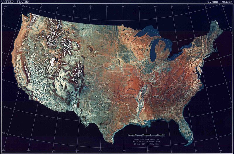 | 800 × 527 (110 KB) | Maintenance script (talk | contribs) | == Summary == Importing file |
You cannot overwrite this file.
File usage
The following page uses this file: