File:Pmmap.jpg
Jump to navigation
Jump to search
Size of this preview: 800 × 592 pixels. Other resolution: 1,616 × 1,196 pixels.
Original file (1,616 × 1,196 pixels, file size: 760 KB, MIME type: image/jpeg)
Summary
| Title / Description
|
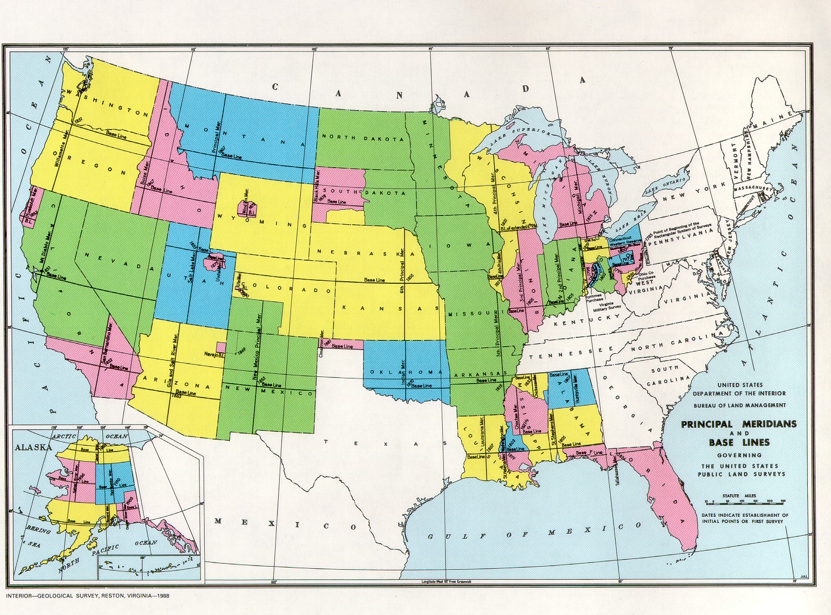
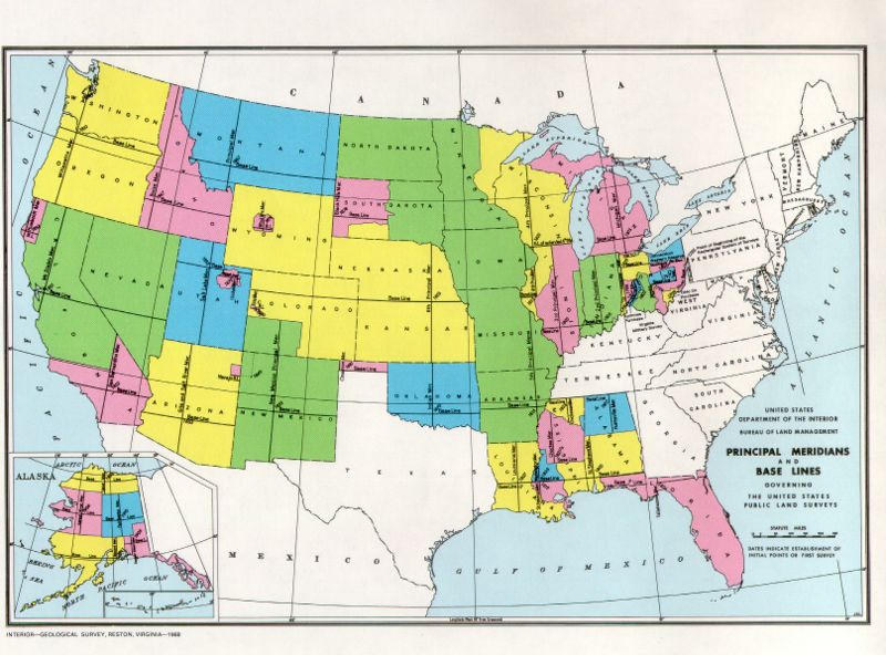
Map of the United States showing the principal meridians and baselines used in the Public Land Survey System |
|---|---|
| Author(s)
|
U.S. Geological Survey |
| Copyright holder
|
U.S. Geological Survey See below for license/re-use information. |
| Source
|
BLM map from Cadastral Survey page |
| Date created
|
1988 |
| Country of first publication
|
Please edit this page and add the country of first publication, or note that it is unknown. |
| Notes
|
You can edit this page and add notes here which may be useful to people who wish to re-use this media. |
| Other versions
|
If there are other versions of this media on CZ, please list them here. |
| Using this image on CZ
|
, then copy the code below to add this image to a Citizendium article, changing the size, alignment, and caption as necessary.
|
Image issue? Contact us via the email below.
Please send email to manager A T citizendium.org .
Licensing/Copyright status
Work of U.S. Government.
Licensing/Copyright status
This media, Pmmap.jpg, is in the public domain
You may freely copy, distribute, display and perform this work, as well as make derivative and commercial works.
File history
Click on a date/time to view the file as it appeared at that time.
| Date/Time | Thumbnail | Dimensions | User | Comment | |
|---|---|---|---|---|---|
| current | 19:52, 11 March 2022 | | 1,616 × 1,196 (760 KB) | Maintenance script (talk | contribs) | == Summary == Importing file |
You cannot overwrite this file.
File usage
The following 3 pages use this file: