File:USAmap.png: Difference between revisions
Jump to navigation
Jump to search

imported>Anthony Argyriou ({{Information |Description= Map of the United States showing state boundaries, relief and major highways. nformation |Source=Screen capture of pdf image from [http://www.nationalatlas.gov/printable/images/pdf/territory/genref.pdf online National Atlas] |Date= 2005 |Author= United States Geological Survey |Permission=Public domain; work of the U.S. Government}}) |
imported>Anthony Argyriou (→Summary: correction) |
||
| Line 1: | Line 1: | ||
== Summary == | == Summary == | ||
{{Information |Description= Map of the United States showing state boundaries, relief and major highways. | {{Information |Description= Map of the United States showing state boundaries, relief and major highways. | ||
nformation |Source=Screen capture of pdf image from [http://www.nationalatlas.gov/printable/images/pdf/ | nformation |Source=Screen capture of pdf image from [http://www.nationalatlas.gov/printable/images/pdf/reference/genref.pdf online National Atlas] |Date= 2003 |Author= United States Geological Survey |Permission=Public domain; work of the U.S. Government}} | ||
== Licensing/Copyright status == | == Licensing/Copyright status == | ||
{{PD}} | {{PD}} | ||
Revision as of 14:11, 27 July 2007
Summary
Licensing/Copyright status
This media, USAmap.png, is in the public domain
You may freely copy, distribute, display and perform this work, as well as make derivative and commercial works.
File history
Click on a date/time to view the file as it appeared at that time.
| Date/Time | Thumbnail | Dimensions | User | Comment | |
|---|---|---|---|---|---|
| current | 19:56, 11 March 2022 | 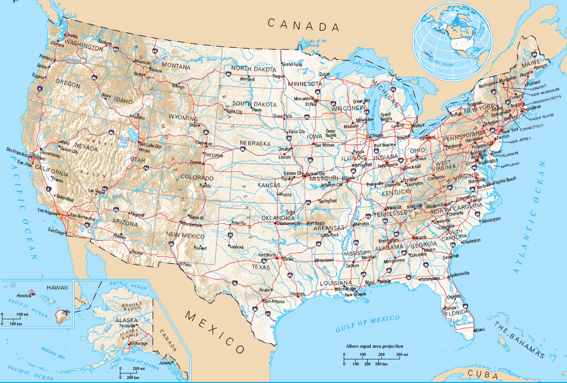 | 1,130 × 763 (317 KB) | Maintenance script (talk | contribs) | == Summary == Importing file |
You cannot overwrite this file.
File usage
The following 2 pages use this file: